
Using the tools on GPSvisualizer
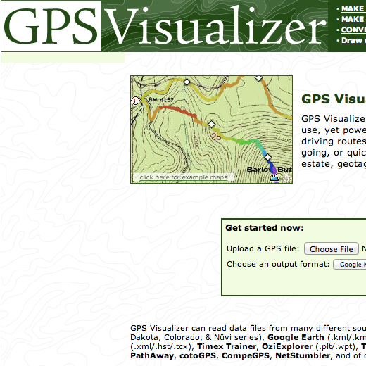
GPSvisualizer.com (note the American spelling) is a website that has lots of handy tools for comparing, exploring, collating and calculating the data that we gather from GPS devices.
You can take any file that has been saved from one of the Garmins (just use the USB lead to copy it onto your computer) or you can download waypoints or Travelbug info from the Geocaching website to play with.
Lets start by having a look at one of our Travelbugs as a map.
- Go to the site of one of the TBs in our Olympics and on the right-hand side of the information page you should see a link to ‘View in Google Earth’
- Click this link and a file will be downloaded to your computer
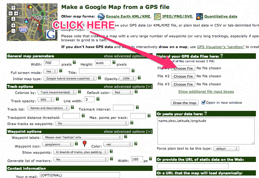
- Go to GPSvisualizer.com and click on ‘MAKE A MAP’ at the top of the page
- Click on ‘Choose file’ to maps the file you just downloaded
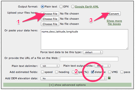
Once you have mapped the data from the GPX file and explored the map, try clicking the ‘CONVERT A FILE’ link to create a Plain Text table of the Travelbug’s journey. This will give you the cumulative distance, and the distance between each step.
Make sure you check the units for these distances!
Recent Comments